File:Ocean gravity map.gif
Jump to navigation
Jump to search


Size of this preview: 800 × 473 pixels. Other resolution: 1,010 × 597 pixels.
Original file (1,010 × 597 pixels, file size: 466 KB, MIME type: image/gif)
File history
Click on a date/time to view the file as it appeared at that time.
| Date/Time | Thumbnail | Dimensions | User | Comment | |
|---|---|---|---|---|---|
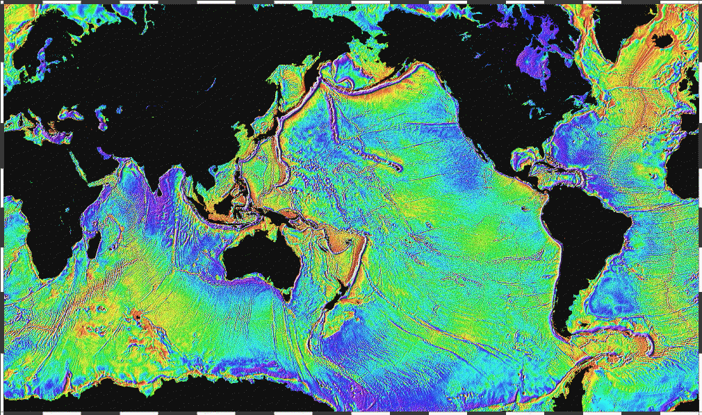
| current | 22:02, 25 March 2015 | | 1,010 × 597 (466 KB) | Egel | This image was copied from commons:commons. The original description was: {{Information |Description = {{en|Ocean basins mapped with satellite altimetry. Seafloor features larger than 10 km are detected by resulting gravitational distortion of sea s... |
File usage
The following page uses this file:
